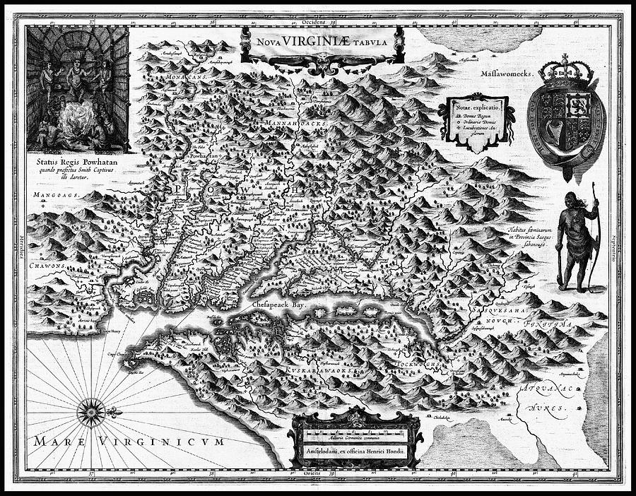
Virginia and Chesapeake Bay Vintage Historical Map 1630 Black and White is a photograph by Carol Japp which was uploaded on September 20th, 2023.
Virginia and Chesapeake Bay Vintage Historical Map 1630 Black and White
A very early historical map of Colonial Virginia and The Chesapeake Bay created by Henricus Hondius and published around 1630. The map is based on an... more

by Carol Japp
Title
Virginia and Chesapeake Bay Vintage Historical Map 1630 Black and White
Artist
Carol Japp
Medium
Photograph - Drawing Engraving
Description
A very early historical map of Colonial Virginia and The Chesapeake Bay created by Henricus Hondius and published around 1630. The map is based on an earlier map from 1612 featuring the Virginia Colony and created by John Smith. This reproduction map has been converted to black and white and remastered but still shows signs of wear and tear due to age.
Uploaded
September 20th, 2023
More from Carol Japp
Comments
There are no comments for Virginia and Chesapeake Bay Vintage Historical Map 1630 Black and White . Click here to post the first comment.


